

POST-STORM REMEDIATION SURVEYING FOR PINNACLES CIVIL
Storms can reshape landscapes overnight. In the aftermath of severe weather events, damaged infrastructure poses a major risk to communities. Civil remediation efforts, guided by accurate surveying, are essential to swiftly restore safety and stability.
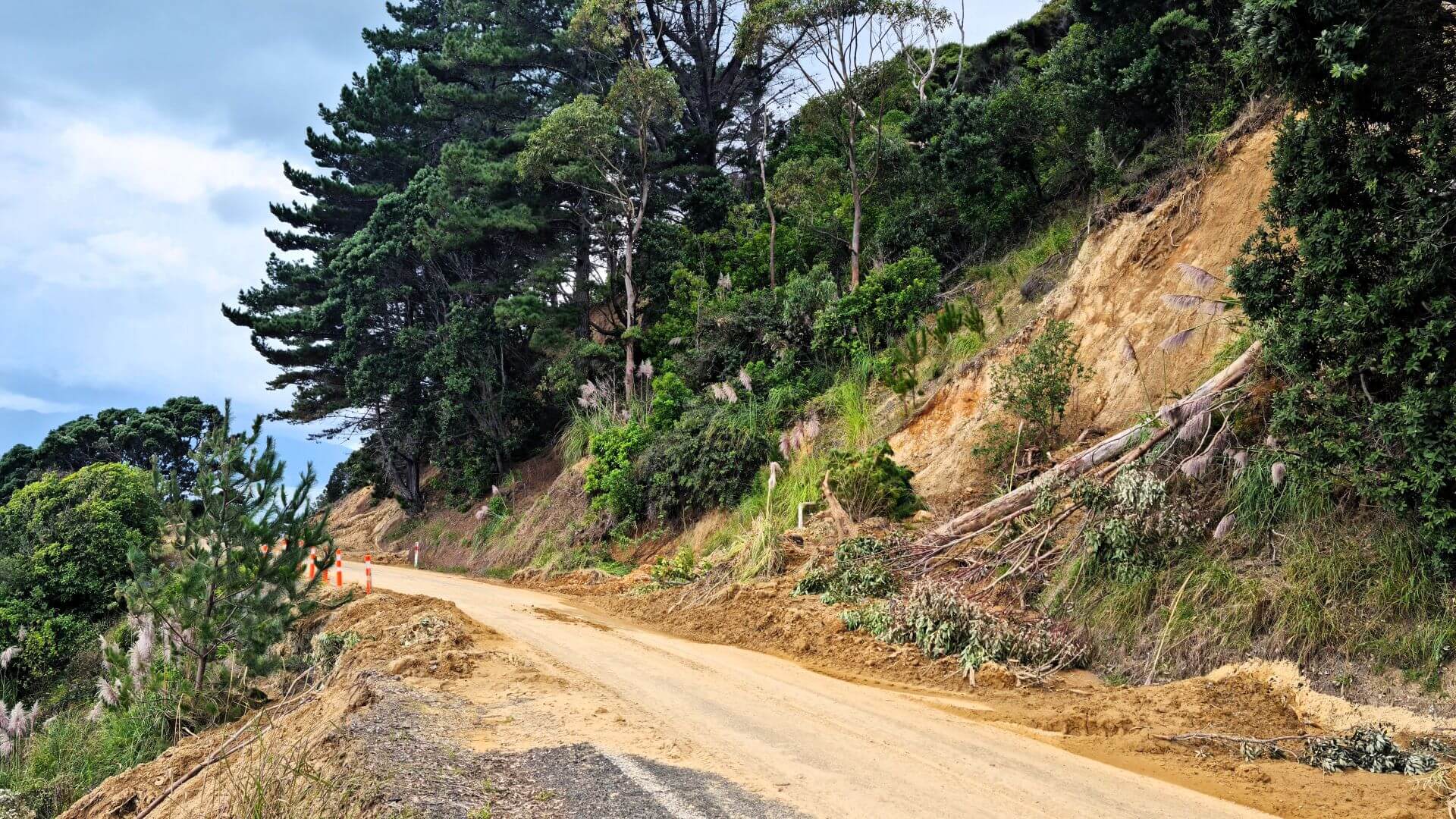
In 2023, the Coromandel region was hit by a series of major storm events that prompted over 1,000 residents to evacuate vulnerable coastal areas. Pinnacles Civil was tasked with repairing the roads, bridges, and retaining structures.
Pinnacles trusted SEAM Spatial to provide the accurate surveying data needed to support their extensive remediation project – where safety was paramount in still-challenging conditions.
CHALLENGE
The Coromandel storm events incurred millions of dollars in damage across the region and affecting over 100 local roads – many of which remained highly unstable after the storms. Land slips throughout Coromandel were caused by:
Rainfall of 500 mm within a span of just a few days – significantly exceeding the region’s average
Wind gusts reaching up to 120 km/h – damaging critical infrastructure in multiple areas
Storm surges over 2 m above normal tide levels – inundating low-lying areas and eroding shorelines
Pinnacles could not begin remediation until they had the necessary spatial data to determine the required actions, creating a significant time constraint for the project.
SOLUTION
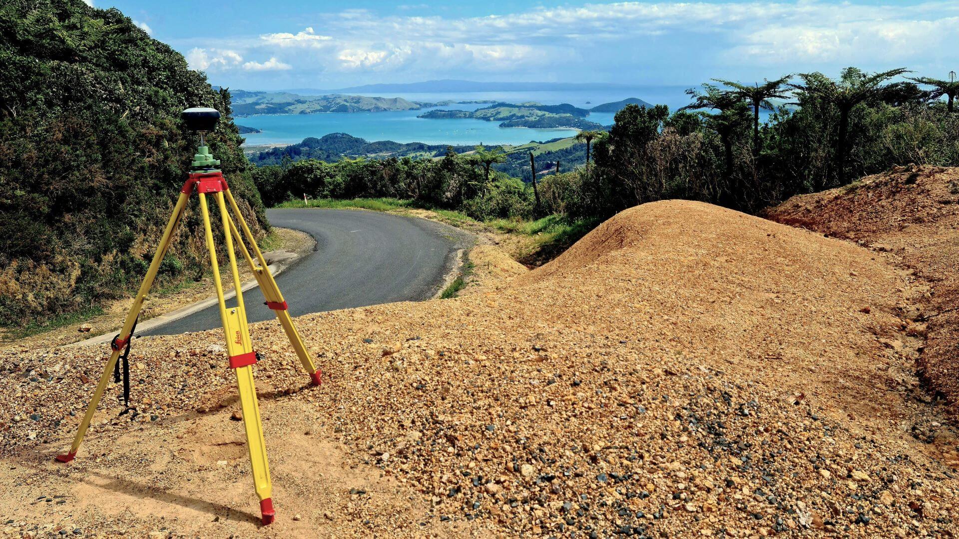
SEAM knew that the situation made traditional survey methods unsafe. Because of the unstable conditions, the SEAM team looked to technology to reduce time on the ground and allow them to gain more reliable data. This involved:
Flying DJI Matrice 300 unmanned aerial vehicles (UAVs) to cover the vast affected areas
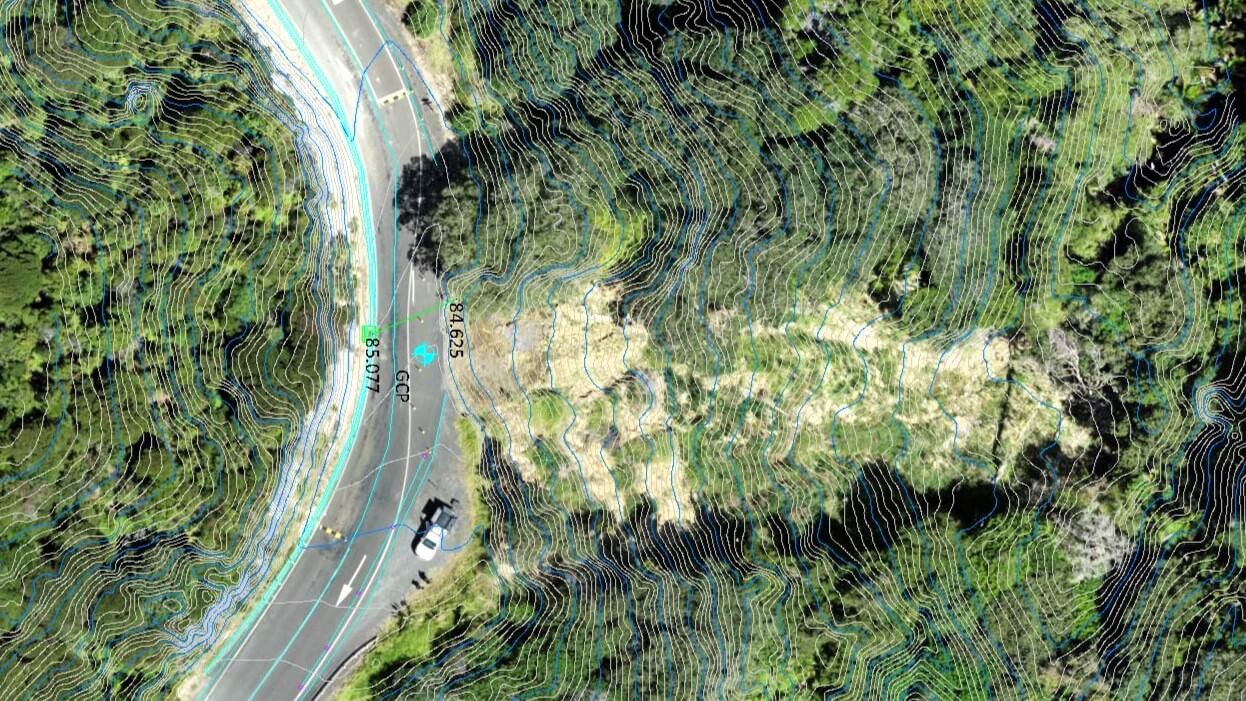
Capturing LiDAR scans, even with vegetation coverage, using DJI Zenmuse L1 cameras
Leveraging real-time kinematic positioning (RTK) to ensure survey accuracy and consistency
OUTCOMES
As a popular destination with a thriving community, ensuring that the Coromandel area is safe to navigate has been essential.
The partnership between Pinnacles and SEAM is leading to significant improvements throughout Coromandel’s slip-prone infrastructure. SEAM’s work has:
Ensured Pinnacles had the spatial data needed to determine project requirements in the most timely and safe manner.
Enabled quick commencement of slope stability fixes, turning around 70 slips within just a few months
Facilitated new resilient infrastructure, including a multi-million-dollar, 125-metre-long steel bridge on State Highway 25a
